AI at the service of 3D geospatial mapping
The French consortium AI4GEO aims to develop a unique solution for the production of automatic 3D geospatial information
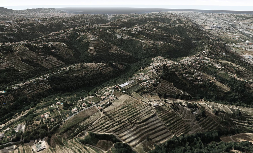
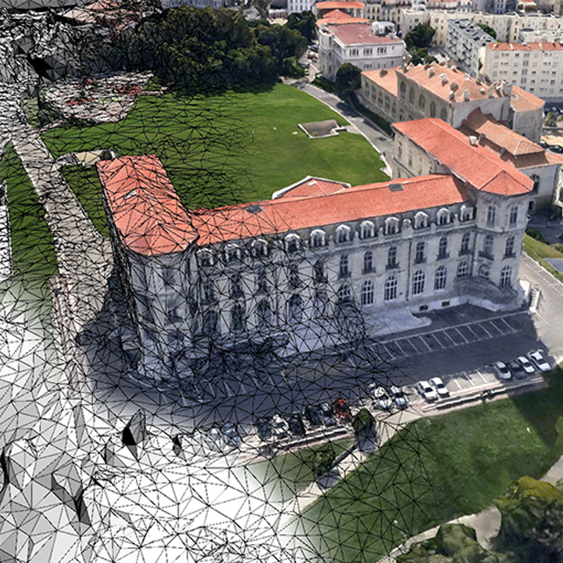
AI4GEO is an R&D program with an industrial research phase aimed at lifting the technological barriers to the automatic production of 2D and 3D Geographic Data. By applying innovative algorithmic approaches to the processing of varied and precise geospatial data sources, it aims to revolutionize the 3D representation of space and its applications.
Cutting-edge industrial applications
The technological advances enabled by AI4GEO will act as boosters for the development of innovative services and products for industrial project partners. The AI4GEO project, at the end of this Proof Of Concept (POC) phase, will eventually lead to the marketing of new products and services with high added value for customers.

Data intelligence platform

Smart City

Environment

Economic intelligence

Autonomous Transport


Ambitions and challenges
The Ai4geo program is a French scientific and industrial project designed to meet the global issues related to the development of 3D geospatial information.
A 4 year program
More about +
This 4-year Ai4geo programme, launched in September 2019, responds to the issue of the availability of 3D GeospatialInformation, an issue at the heart of many booming sectors of activity: Sustainable City and Smart City, Ecological Mobilityand Autonomous Vehicle, Economic Intelligence, consumer market.
Funded by the Future Investment Program (FIP)
More about +
Financé par le Programme d’Investissement d’Avenir (PIA).
Supported by competitiveness clusters
More about +
Led by Aérospace Valley, Cap Digital, Finance Innovation
Operated by BPI France
More about +
Operated by BPI France reinforces autonomy in the field of 3D Geospatial Information, creates leaders in new markets and promotes access to these technologies by SMEs.
Diversity of data sources and sensors
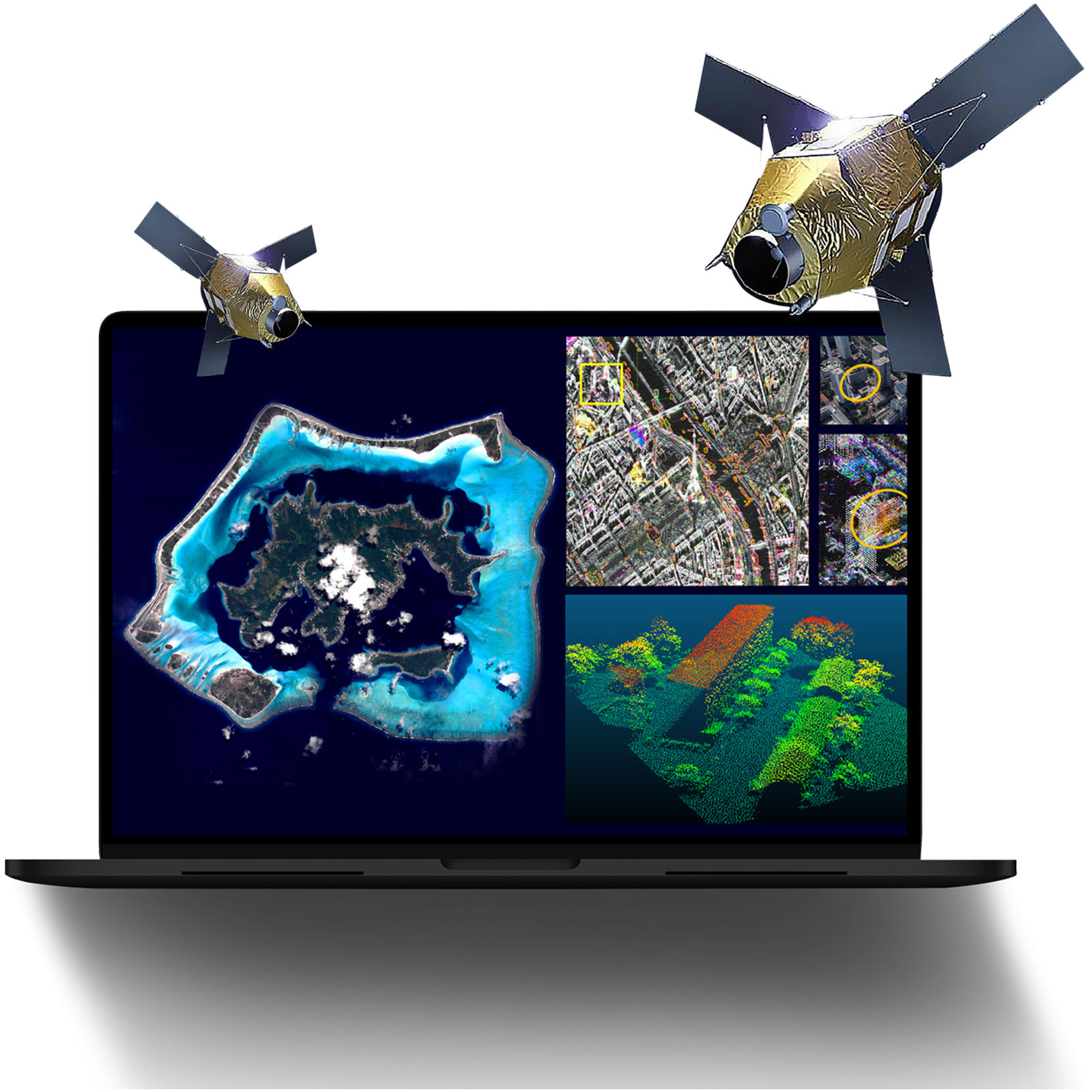
The production of qualified 2D and 3D geospatial information is a challenge on a global scale. This mapping will be based on satellite data offering global coverage, increasingly fine resolution and frequent updating. It will be hybridised with other sensors (Lidar, Radar) from aerial and ground platforms to increase its performance and meet specific uses.
Tomorrow’s jobs in artificial intelligence & geospatial data
They support us


The consortium
A complementary grouping of academics, research laboratories and industrialists recognized in their fields of expertise

The AIRBUS Group brings its expertise in the semantic 3D mapping of cities. Through its experimentation in AI4GEO, it seeks to provide a value-added service in the field of Smart City for metropolises and associated operators.

CLS brings its expertise in providing Earth observation and monitoring solutions. Through its experimentation in AI4GEO, it seeks to provide a value-added service in the environmental field.

CNES brings its expertise in earth observation from space, particularly in massive data processing, imaging, AI and photogrammetry. CNES is also the technical coordinator of the R&D project and makes its intensive computing infrastructure and databases available within this framework..

The CS Group brings its expertise in the implementation of Big Data and Cloud solutions. Through its experimentation in AI4GEO, it seeks to provide a value-added service for setting up an R&D platform (Earth Engine)..

GEOSAT provides its expertise in the acquisition and processing of 3D geographic information such as point clouds using artificial intelligence techniques. Through its experimentation in AI4GEO, it seeks to provide a value-added service in the field of autonomous navigation.

The IGN brings its expertise in the production of qualified geographic data, enriched by innovative AI techniques and technologies and new acquisition methods (Lidar), resulting from its research. As part of AI4GEO, he is particularly involved in the creation and use of 3D models.

ONERA brings its expertise in multi-physical imaging and associated AI processing and is particularly involved in AI4GEO on the semantic enrichment of geospatial data and 3D

QuantCube brings its expertise in Big Data analysis. Through its experimentation in AI4GEO, it seeks to provide a value-added service in the field of financial services.
Would you like to discover the project?
Don’t wait any longer and contact us for a demo request or for any further information.
Address
B612 – Innovation Centre
3 rue Tarfaya, 31400 Toulouse – France


A disruptive approach to geospatial data